
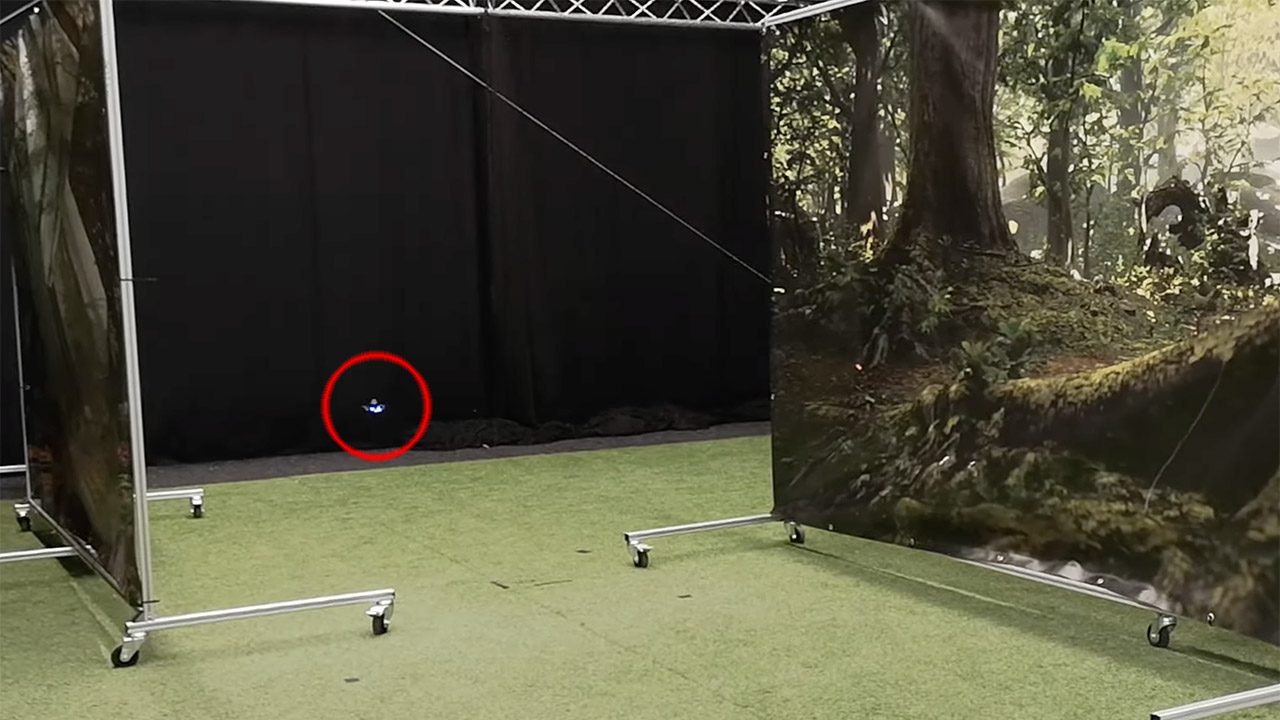
Researchers from The Netherlands’ Delft University of Technology (TU Delft) reveal CrazyFlie, a palm-sized micro drone that can autonomously navigate hazardous environments, and it doesn’t use LiDAR. Put simply, this drone captures a series of photos during their journey, and on its way back, it just tags the landmarks found in those images, but in the reverse order they were taken.
CrazyFlie weighs just 56 grams and comes equipped with an omnidirectional camera that tracks how quickly things pass by in the visual field, as well as the direction in which the ground passes beneath it. On the way back, this data is then compared to the next recorded snapshot, and then corrects its course until the two images almost exactly match. During one of the tests, CrazyFlie autonomously returned to base along a winding 328-foot obstacle course using just 1.16 kilobytes of memory.

- Intelligent Follow-Me Camera: Harnessing advanced tracking algorithms and a following speed of up to 15 mph, the HOVERAir follow-me self-flying drone...
- Portability and Simplicity Redefined: Weighing a mere 125g (4.41oz), lighter than an iPhone and exempt from the hassle of FAA registration. The...
- Automatic and Intelligent Flight Paths: Experience hands-free flying with the pre-programmed flight paths, including Hover, Follow, Zoom Out, Orbit,...
Snapshot-based navigation can be compared to how Hansel tried not to get lost in the fairy tale of Hansel and Gretel. When Hans threw stones on the ground, he could get back home. However, when he threw bread crumbs that were eaten by the birds, Hans and Gretel got lost. In our case, the stones are the snapshots,” said Tom van Dijk, first author of the study.
[Source]


