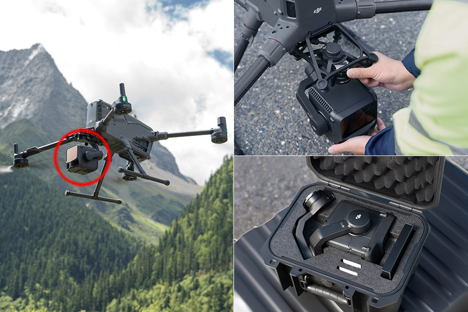
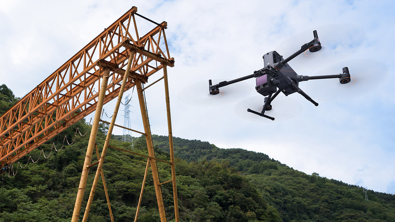
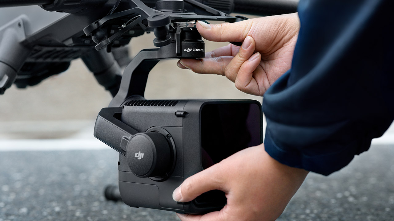
DJI’s Zenmuse L3 drops into your world as a compact, clip-on package that finally makes your drone a serious mapping machine. Throw it onto your trusty Matrice 400, and suddenly, you’ll be beaming a powerful laser 950 meters down the road, bouncing it off reflective surfaces that barely let a tenth of the light through.
You can dial the pulse rate up or down – 100 kHz is the starting point, but you can crank it higher to match the job at hand without killing the battery too fast. And when you put it to the test in the real world, you’ll be amazed at how accurate it is. At 150 meters, your measurements yield a near-perfect 5 millimeter. Fly at 120 meters and your vertical precision is a rock solid 3 cm; at 300 meters, it manages a good 5 centimeter. You’re looking at errors of less than 10 cm at 500 meters, which is exactly what you’ll need for large-scale surveys rated 1:500 or 1:1000, with no ground control points necessary in most circumstances.

- Due to platform compatibility issue, the DJI Fly app has been removed from Google Play. DJI Neo must be activated in the DJI Fly App, to ensure a...
- Lightweight and Regulation Friendly - At just 135g, this drone with camera for adults 4K may be even lighter than your phone and does not require FAA...
- Palm Takeoff & Landing, Go Controller-Free [1] - Neo takes off from your hand with just a push of a button. The safe and easy operation of this drone...
The narrower laser beam also provides an advantage: you can now see fine features that were lost on older models with larger beams. The divergence is only 0.25 milliradians, which means the spot size is a fraction of the old Zenmuse L2. So if you’re mapping power lines or trying to get a read on individual tree branches, you’ll be able to see them clearly in the data where they used to blow out together.
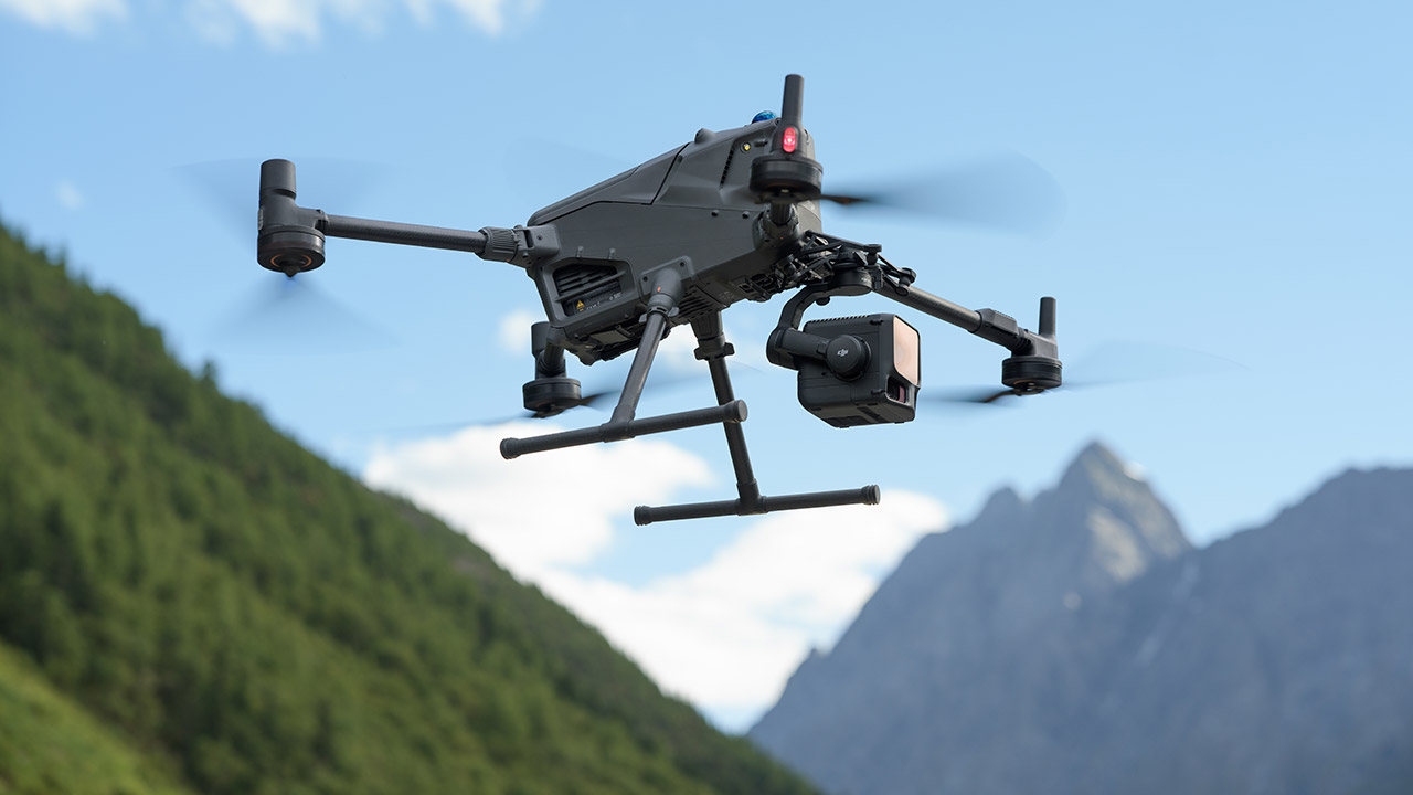
You’ll also get a side benefit with dual 100-megapixel cameras that come attached to the laser. Each one is using a 4/3-inch CMOS sensor with a mechanical shutter, which delivers photos sharp enough to get a 3-centimetre ground res from 300 meters up. And because they’re running side by side, you get a nice wide 107-degree horizontal view, grabbing a ton of colour imagery on every pass.
The system fires off up to 2 million pulses per second and records as many returns as 16 per pulse. This means that in those dense forests where earlier models would struggle to get any kind of read, the Zenmuse L3 can plough through even thick leaves and branches, hitting the ground multiple times along the way. So now you can create a complete terrain model underneath the canopy where single-return systems just can’t go.
To top it all off, there are some new scanning patterns on offer – linear mode works well for open fields, non-repetitive for even coverage on uniform terrain, and star-shaped for balancing density in tricky spots like cities or woodlands. And what I love is that because it’s all so efficient, you can now fly a single mission and cover a whopping 10 square kilometers in just one go. Swap batteries, repeat the flight and you can hit 100 square kilometers in a single day with only 20% overlap between passes. Plus all the data – laser and photos – gets collected at the same time, so you can pump out orthomosaics, elevation models and point clouds from one single mission.
It all stays within the DJI ecosystem, since Pilot 2 allows you to plan routes and view clouds in real time, while Terra converts the files into final maps. Modify and update the models, and FlightHub will allow you to share the results with your team. If you need more precision, simply grab a D-RTK 3 station and you’re ready to go.
Surveyors can now map power corridors in half the time, spotting sagging lines from a distance. Foresters can count trees and measure their height through the canopy like it’s nobody’s business. Emergency services can assess flood zones or landslide risks in hours instead of days. And whether you’re documenting heritage sites or just trying to get a better handle on the environment, it all gets done with a lot less hassle than before.
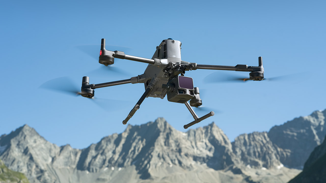
Dealers have got stock of the Zenmuse L3 now, and prices are kicking in around €8,000 before tax in Europe – which isn’t bad considering that you get a 3-axis gimbal to keep everything steady and microsecond timing to sync every laser ping with camera shots and GPS fixes.
[Source]