Photo credit: NASA Earth Observatory/Michala Garrison
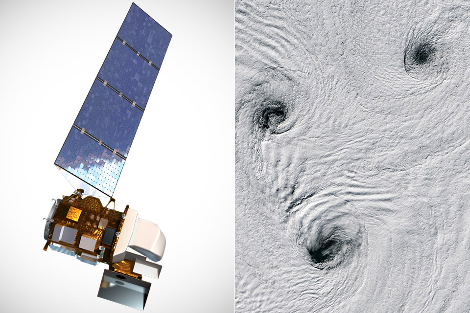
Landsat 8, owned and operated by the USGS, captured the image on February 11, during the brief Antarctic summer. The satellite’s Operational Land Imager captured a view from orbit of Peter I Island in the Bellingshausen Sea, which is located at 68.86 degrees south latitude. The site, which is 400 kilometers off the coast of West Antarctica and more than 1,800 kilometers from the nearest point in Chile, feels inconceivably remote.
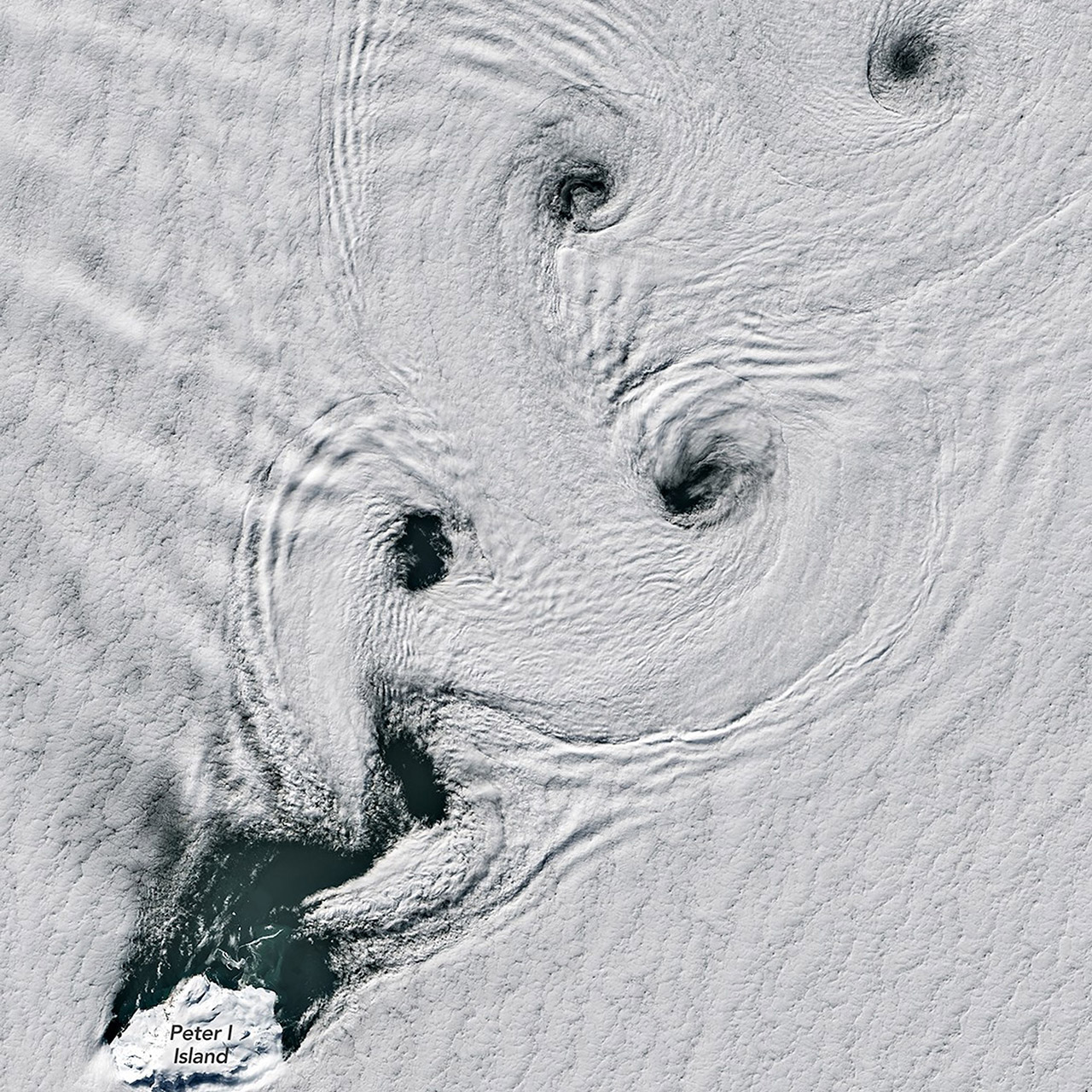
The image focuses on the island itself, an ice-covered shield volcano that rises 1,640 meters above the waters. The peak is marked by a circular crater that is approximately 100 meters wide. Clouds neatly parted around the continent, revealing parts of its frozen surface. Downwind, on the side opposite the incoming air, a series of counterrotating spirals spread over the lake like paired corkscrews. These cloud formations form ordered rows, with each pair spinning in opposite directions and gradually vanishing into the open sea.

- NASA rocket model kit – Launch into a creative project with the LEGO Icons NASA Artemis Space Launch System model building project for adult space...
- What’s in the box? – This creative building set includes everything you need to craft a multistage rocket with 2 solid-fuel boosters, an Orion...
- Features and Functions – This NASA-themed rocket model features retractable launch tower umbilicals, rocket support and crew bridge, detachable...
Such patterns form when a constant breeze collides with a barrier. Air flows around the island, slows on the sheltered side, and forms eddies. The result occurs only when winds reach eleven to thirty-four miles per hour. Faster gusts rip the shapes apart, whilst calmer air leaves no visual trace. On that day, the conditions were ideal, transforming ordinary moisture in the atmosphere into a visual record of fluid activity.
Peter I Island is rarely visited, having been discovered in 1821 by Russian explorer Fabian Gottlieb von Bellingshausen and named after a tsar. The first confirmed landing didn’t occur until 1929. Most ships avoid the area due to the thick ice and severe seas. Scientists have primarily visited to investigate the geology, the biology that lives on its shores, and the climate record preserved in its layers. In 2011, a NASA plane flew over as part of Operation IceBridge to assess ice thickness from above.
The region is dominated by strong winds all year round. Mariners have traditionally referred to these latitudes as the Roaring Forties, Furious Fifties, and Screaming Sixties because nothing prevents the air from speeding across thousands of miles of open water. The Southern Ocean’s continual flow makes it a natural laboratory for atmospheric behavior. The spirals seen here are a clear example of how a little landmass can organize the atmosphere above it.